USA Blank Outline Map Printable Bundle | 10 United States Outline Styles | State Borders | PDF & JPG
High-resolution USA blank outline map printable bundle featuring 10 outline styles, including standard outlines, state borders, mainland-only maps, and true geographic position. Ideal for education, graphic design, presentations, tracing, and geographic reference. Digital download only.
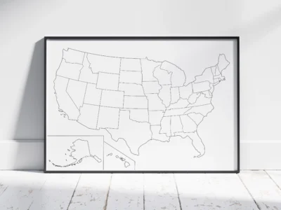
This professional USA Blank Outline Map Bundle includes 10 printable map styles designed for education, graphic design, presentations, geographic reference, tracing, and creative projects.
The collection includes multiple outline styles, state border variations, mainland-only maps, and a true geographic position version, allowing you to choose the layout and level of detail that best fits your project.
All maps are intentionally label-free, giving you complete freedom for annotation, customization, worksheets, presentations, and creative work.
Variations Included
This bundle includes 10 professionally prepared printable map variations organized into four categories:
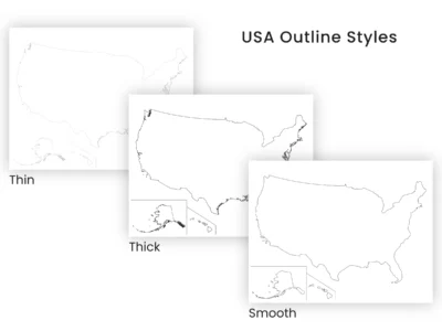
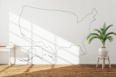
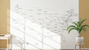
USA Outline
Thin Outline
Thick Outline
Smooth Outline
Shows the contiguous United States with Alaska and Hawaii displayed as inset maps.
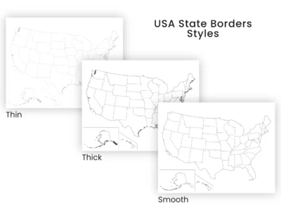
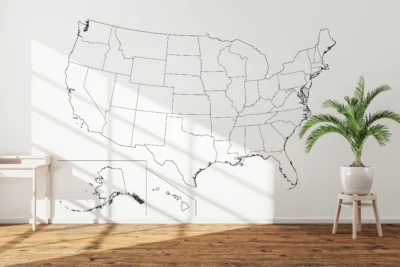
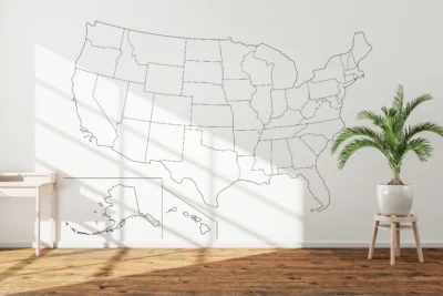
USA State Borders
Thin State Borders
Thick State Borders
Smooth State Borders
Shows all 50 states with clearly defined state boundaries while remaining free of labels and text.
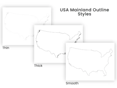
USA Mainland Outline
Thin Outline
Thick Outline
Smooth Outline
Shows only the contiguous United States (Lower 48) without Alaska and Hawaii.
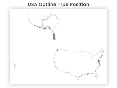
USA Outline (True Geographic Position)
Displays the United States with Alaska and Hawaii shown in their true geographic positions rather than inset maps.
Designed for Versatile Use
These maps are suitable for:
Geography worksheets and classroom activities
Homeschooling and educational projects
Geographic reference
Tracing and annotation
Graphic design
Infographics
Presentations and reports
Business and marketing visuals
Wall art and minimalist decor
The clean layouts provide excellent flexibility for both print and digital workflows.
What You Will Receive
You will receive one ZIP file containing all included map styles, clearly organized into labeled folders.
Each of the 10 map variations is provided in both JPG and PDF formats for every included print size.
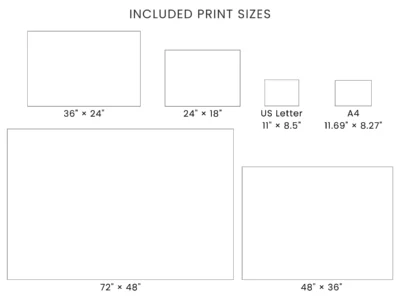
Print Sizes Included
US Letter Landscape (11 × 8.5 inches)
A4 Landscape (11.69 × 8.27 inches)
24 × 18 inches
36 × 24 inches
48 × 36 inches
72 × 48 inches
File Formats Included
JPG files (300 DPI): Included for every listed print size.
PDF files (print-ready): Included for every listed print size.
Map Quality
These maps are created using reliable geographic reference data and professionally refined using GIS workflows for clean printing, accurate outlines, and consistent visual quality.
The smooth variations simplify boundary detail for a cleaner appearance, while the standard outline versions preserve more original geographic character. State border versions maintain clear internal boundaries without labels, and the true position layout preserves the actual geographic arrangement of Alaska, Hawaii, and the contiguous United States.
Notes
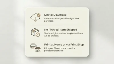
Digital download only. No physical product will be shipped.
Print at 100% scale (Actual Size) for best results.
PDF files are recommended for the most consistent printing results.
JPG files are suitable for both printing and digital applications.
Colors and print results may vary slightly depending on your screen, printer, paper, and print settings.
License
This product is licensed for personal, educational, classroom, and commercial use, including print, web, video, and client work.
Resale, redistribution, file sharing, or use in competing digital or physical products are not permitted. Please see our Terms and Conditions for full license details.