India Outline Map – Free Downloads (States, UTs, Names)
We’re excited to share a collection of high-quality outline maps of India in multiple styles, including transparent PNG, white background, state names, union territory names, and more.
Scroll down and browse through the different styles, pick the one that fits your needs, and download instantly. Enjoy!
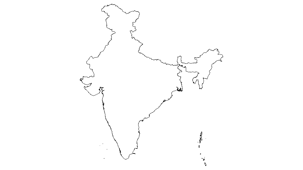
India Outline Map - Transparent PNG
A clean, high-resolution India outline map showing only the international border of India, with no internal state or UT divisions. This map can be ideal for minimalist designs and projects requiring only the country’s outer boundary.
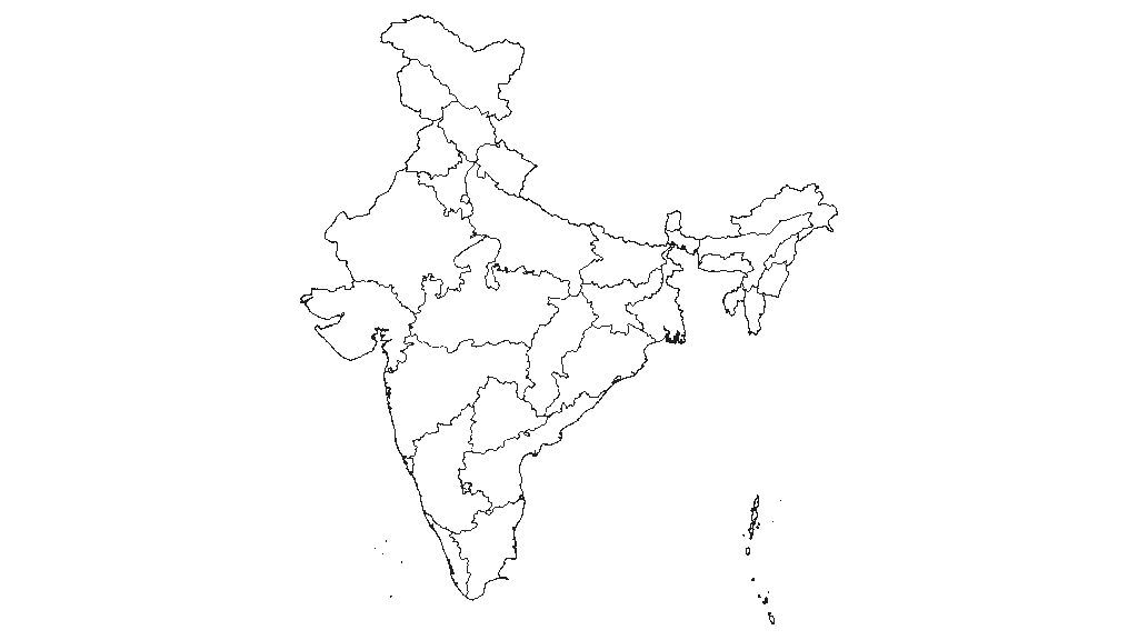
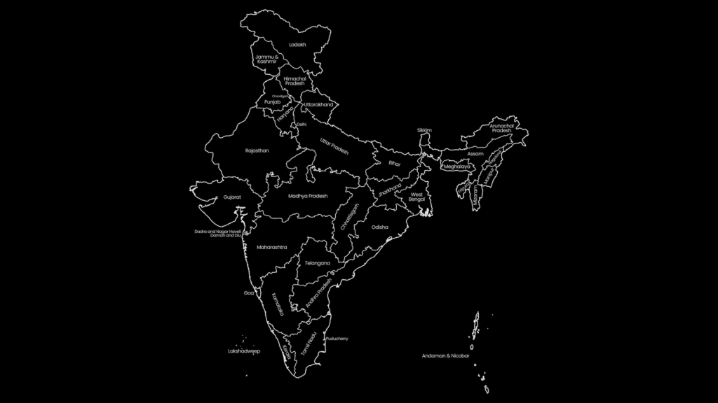
India Outline Map with States & UTs - Transparent PNG
This version includes both India’s international border and the internal borders of its states and union territories (UTs), giving a complete political outline view.
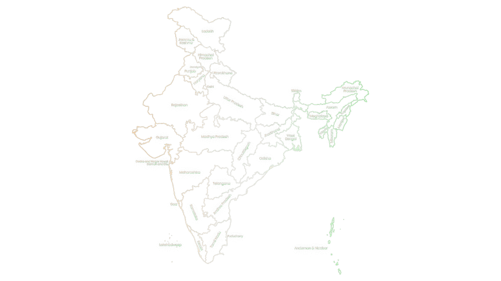
This map is identical to the previous version but styled with colors from the Indian national flag for both the borders and the labels. This can be a perfect map for patriotic designs or cultural projects. Since this version has gradient color with transparent background, it may appear less visible on this page, but you have the freedom to place it over any background you like.
This is another version, focuses on state borders only, along with the main outline of India. The outer border is in black, and the state borders are highlighted in green.
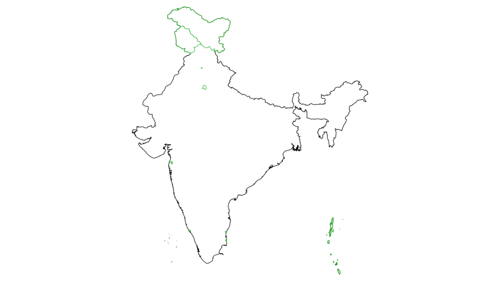
Indian Outline Map with Union Territories - Transparent PNG
This version shows only the outlines of India’s union territories (UTs) along with the main outline of the country. UT borders are highlighted in green for easy identification.
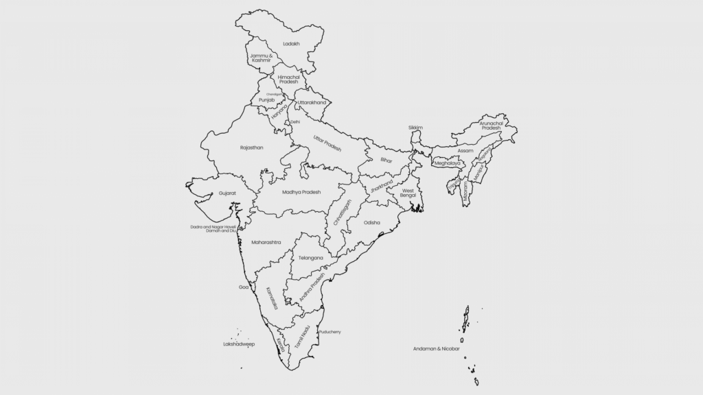
This one is same as the previous map but with a white background for cleaner print use or light-themed designs. While transparent maps are more popular, this version may be useful for specific applications.